Search Collections
- Object[71]
- yes[71]
- no[71]
- american[71]
- abilene[3]
- alibates creek[16]
- bailey county[1]
- banquete creek[5]
- bivens estate ranch[16]
- blind oso[1]
- blowout mountain[7]
- canadian river[11]
- corpus christi[7]
- corpus christi area[1]
- elgin[1]
- elgin island[1]
- elm creek[3]
- georgetown[3]
- gulf of mexico[3]
- high terrace[2]
- ingleside cove[1]
- laguna madre island[4]
- live oak peninsula[9]
- logan (texas)[1]
- near abilene[9]
- near dalhart[1]
- nueces county[17]
- nugent[1]
- oso creek[1]
- padre island[3]
- petronillo creek[2]
- rincon[8]
- rockport[5]
- taylor county[1]
- texas[71]
- united states of america[71]
- williamson county (texas)[3]
- 24.5 ft. below surface found with charcoal #32.29[1]
- bank of elm creek 7.5 mi. south of abilene[1]
- blow-out[1]
- creek bed of elm creek 7.5 mi. south of abilene[1]
- rectangular pit house, 2d/2s, depth 23 in. among ashes under fragment of stone -- near corner within pit house.[1]
- rectangular pit house, 2d/36s[1]
- rectangular pit house, 2d/3b, depth 25 in.[1]
- rectangular pit house, 2d/40s, depth 13 in., on plaster.[1]
- rectangular pit house, 2d/41s, depth 13 in. lying immediately on horizontal plaster.[1]
- rectangular pit house, 2d/49s[1]
- rectangular pit house, 2d/4s[1]
- rectangular pit house, 2d/52s, depth 9 in., above floor in "wash" near platform "break"[1]
- rectangular pit house, 2d/6b, depth 24 in.[1]
- rectangular pit house, 2d/8s[1]
- rectangular pit house, 2d/?b[1]
- region around rockport[4]
- sand dune surface site near nugent[1]
- shell mounds[1]
- surface[1]
- surface in blown area[1]
- surface near high terrace, 13 mi. south of abilene[1]
- surface site[7]
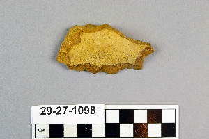
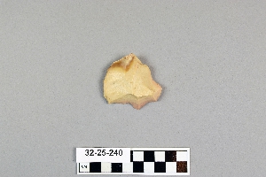
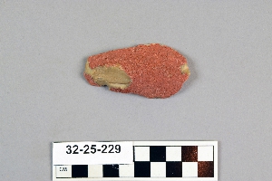
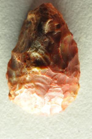
- chipped[71]
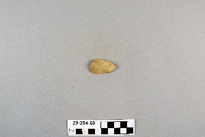
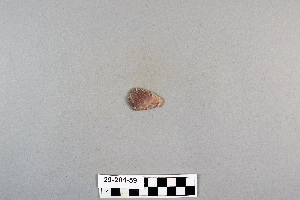
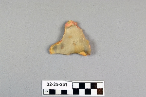
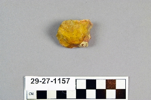

1 - 32 of 71 Records