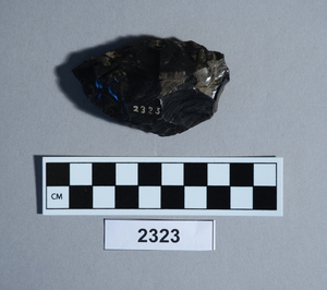
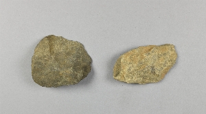
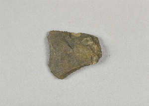
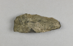
Search Collections
- Object[211]
- yes[211]
- no[211]
- ceremonial object[1]
- implement[211]
- abbott farm[1]
- aquanchicola creek[1]
- berks county[1]
- bristol (pennsylvania)[4]
- bucks county[12]
- burlington county[4]
- burlington island[1]
- california (state)[1]
- chester county[2]
- chihuahua[1]
- chubu region[1]
- clermont county[1]
- clovis[4]
- delaware river[2]
- delaware river region[1]
- delaware valley[18]
- eastern united states[1]
- fairmount park[1]
- fresno county[1]
- hamilton[5]
- hamilton square[5]
- hick's ferry[1]
- honshu[1]
- hummel's wharf[1]
- hunlock's creek[3]
- iredell's creek[1]
- isle of que[1]
- japan[1]
- johnson's creek[1]
- lancaster county (pennsylvania)[1]
- lehigh county[11]
- limeport[2]
- live oak peninsula[1]
- lumberton[12]
- luzerne county[6]
- macungie[5]
- mahoning beach[2]
- mckees island[1]
- mercer county[107]
- mexico (central america)[1]
- nagano prefecture[1]
- near trenton[1]
- nescopeck[1]
- new jersey[121]
- new mexico[5]
- new york[3]
- northampton county[1]
- ohio[1]
- oley[1]
- oregon[5]
- penn valley[1]
- pennsylvania[71]
- philadelphia[1]
- philadelphia county[1]
- phoenixville[2]
- pohopoco creek[3]
- point pleasant[5]
- renselaer county[1]
- rincon[1]
- seneca falls[2]
- shinshiu[1]
- site 1[2]
- site 2[2]
- site 3[1]
- snyder county[3]
- stony point[1]
- susquehanna river[3]
- susquehanna river valley[9]
- susquehanna valley[17]
- texas[1]
- tranquillity[1]
- tranquillity site[1]
- trenton[98]
- united states of america[196]
- vandenburg hill[1]
- wapwallopen[1]
- western united states[1]
- wieder's creek[2]
- witmer's farm[1]
- york[12]
- york county (pennsylvania)[12]
- central california phase[1]
- early horizon[1]
- jomon[1]
- middle horizon[1]
- palaeolithic[1]
- paleolithic[12]
- yayoi[1]
- japanese[1]
- jomon[1]
- paleolithic[2]
- yayoi[1]
- bed of stream[1]
- fossil lake. "upper pliocene mammal bed"[1]
- found in debris filling ancient shaft.[1]
- found on surface[5]
- from ancient shaft 11 ft deep[1]
- from ancient shaft 16 ft deep.[1]
- gravel bluff facing delaware river below trenton[1]
- gravelly field, surface[1]
- gravelly shore of moon's island, 1.5 miles below trenton nj[1]
- jasper quarry[1]
- jasper quarry; surface[1]
- loose gravel.[1]
- square 9u, 5.00 meters north, 1.75 meters east of stake 9u; 40 cm. below final surface; probably slightly above buried "level b" surface as determined at nearby pit 1a[1]
- strawberry valley, near casas grande[1]
- surface[10]
- surface of "trenton gravel"[1]
- surface of trenton gravel[1]
- talus. river bank.[1]
- village site and quarry[1]
- chipped[211]
- flaked[1]
- unfinished[7]
1 - 32 of 211 Records