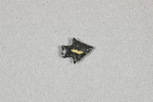
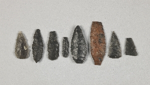
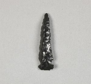
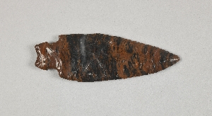
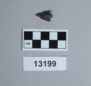
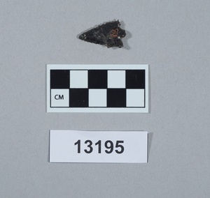
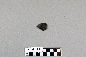
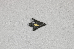
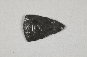
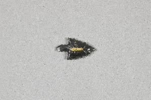
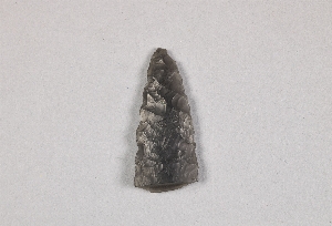
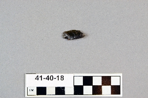
Search Collections
- Object[65]
- yes[65]
- no[65]
- anderson lake[1]
- arizona[1]
- california (state)[10]
- cave[2]
- chubu region[2]
- clovis[2]
- colorado river[2]
- curry county[1]
- fresno county[10]
- gravel pit[1]
- hokkaido[1]
- honshu[2]
- japan[7]
- lake[1]
- mexico (central america)[1]
- miniosa draw[3]
- missouri[1]
- nagano prefecture[2]
- near clovis[1]
- near nara visa[3]
- near taos[1]
- new mexico[14]
- oregon[28]
- polard lake[1]
- pot creek[1]
- quay county[3]
- railroad mountain[2]
- shinshiu[2]
- site 10[1]
- site 3[1]
- site 5[2]
- site 8[1]
- southeastern utah[2]
- taos county[1]
- tranquillity[10]
- tranquillity site[10]
- united states of america[3]
- valley of mexico[1]
- wyoming[1]
- central california phase[10]
- early horizon[10]
- jomon[7]
- late paleolithic[4]
- middle horizon[10]
- paleolithic[1]
- yayoi[7]
- japanese[7]
- jomon[7]
- late paleolithic[4]
- paleolithic[1]
- yayoi[7]
- excavated area adjoining sides of squares 10z and 10aa[1]
- excavated area at adjoining sides of square 10z and 10aa[1]
- first terrace surface[1]
- fossil lake. "upper pliocene mammal bed"[1]
- from lake bank, 1 mi. s.e. of gravel pit near clovis, n.m.[1]
- loose on surface of slough[1]
- northeast dump of gravel pit, surface[1]
- square 10aa, about 1.00 meters from stake 11aa; at surface of "pink consolidated soil" at base of white sand.[1]
- square 11x[1]
- square 11z[1]
- square 12x, 2.00 meters west of stake 12x, in pocket of "hard soil" (below white sand and/or silt)[1]
- square 12y[1]
- square 12y?[1]
- square 9u, 5.00 meters north, 1.75 meters east of stake 9u; 40 cm. below final surface; probably slightly above buried "level b" surface as determined at nearby pit 1a[1]
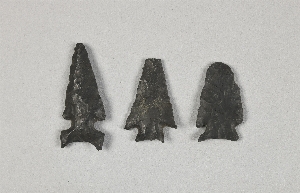
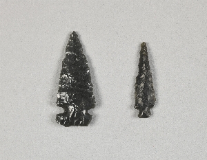
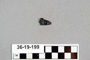
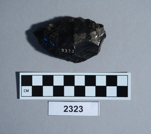
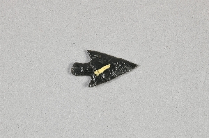
- obsidian[65]
1 - 32 of 65 Records