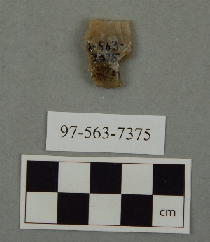
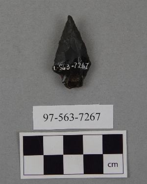
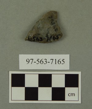
Search Collections
- Object[894]
- no[894]
- american[894]
- alaska[10]
- alton[2]
- anderson lake[3]
- arizona[3]
- arkansas[2]
- belize[7]
- berks county[27]
- big timber creek[6]
- boone county[13]
- bucks county[12]
- burke county[3]
- canada[2]
- caracol (central america)[7]
- caye district[7]
- cecil county[6]
- chester county[11]
- clovis[17]
- colorado[3]
- corydon township[3]
- crawford county (indiana)[2]
- cumberland county (tennessee)[31]
- distrito federal[5]
- east tennessee[94]
- eastern united states[7]
- eddy county[2]
- evansville[4]
- ewing and bragdon site[57]
- florida[13]
- floyd county (georgia)[14]
- frenchman's bay[57]
- georgetown[2]
- georgia[31]
- gloucester county[10]
- gordon county[10]
- grassy cove[18]
- gravel pit[14]
- hamilton county (ohio)[45]
- hancock county (maine)[56]
- hanging rock[3]
- illinois[5]
- indiana[21]
- ingleside cove[2]
- iredell county[5]
- jersey county[2]
- kentucky[31]
- lancaster county (pennsylvania)[28]
- lawrence county[3]
- liberty county[2]
- macoupin county[2]
- maine[57]
- mammoth cave[15]
- manitoba[2]
- marshall county[136]
- marshall county (west virginia)[22]
- maryland[9]
- mexico (central america)[9]
- miami county (ohio)[9]
- milford road[7]
- monmouth county[6]
- near abilene[2]
- near taos[2]
- new jersey[19]
- new mexico[27]
- north america[3]
- north carolina[5]
- nueces county[2]
- oaxaca[2]
- ohio[242]
- ohio county[136]
- ohio county (west virginia)[22]
- panama[11]
- pennsylvania[85]
- piasa[2]
- point barrow region[3]
- polard lake[3]
- pot creek[2]
- pricetown[4]
- richland county[33]
- rome (georgia)[14]
- salinas creek[2]
- san juan teotihuacan[5]
- scioto county[3]
- shelby[33]
- shell bluff[3]
- site 10[3]
- site 8[2]
- sitio conte[11]
- tallahassee[9]
- tennessee[20]
- texas[20]
- united states of america[817]
- utah[3]
- utkiavik[3]
- uwchlan township[7]
- vanderburgh county[4]
- virginia[4]
- washington boro[17]
- west virginia[158]
- wheeling[22]
- witmer's farm[3]
- sitio conte[11]
- aztec[5]
- basket maker[1]
- chalchihuites[1]
- cocle[11]
- eskimo[6]
- inuit[5]
- ojibwa[2]
- pueblo[1]
- toltec[4]
- woodland[7]
- "johnny-behind-the-deuce cave"[1]
- 1 1/2" of ashes below, heap 24" deep[1]
- 1 1/2" of beach gravel and fire dirt[1]
- 10 1/2" deep in cr. shell[1]
- 10 3/4" from 3[1]
- 10" from 8[1]
- 11" deep in whole and cr. shell[1]
- 11" from a[1]
- 12" deep in cr. shell[1]
- 12" from 14[1]
- 13 1/2" from 3[1]
- 13" deep under 10" of whole and cr. shell, in narrow layer of fire dirt[1]
- 13" from c. 17" from 5[1]
- 14" from a[1]
- 14" from a.[1]
- 15" deep in cr. shell and fire dirt[1]
- 15" deep in finely cr. shells extending 20" down from top[1]
- 17 1/2" deep[1]
- 17 3/4" from c. on line 4[1]
- 17" deep in cr. shell area[1]
- 17" deep in whole and cr. shell 5 3/4" thick at bottom of heap.[1]
- 17" from c, 4" from 14[1]
- 18 1/2" from 5[1]
- 18 1/4" from c. 3 1/2" from 3[1]
- 18" deep below 10" of shell[1]
- 18" deep in 7 3/4" layer of b. gravel[1]
- 18" from d[1]
- 19" deep in whole and cr. shell to within 2 1/2" from bottom[1]
- 19" from c. 14 1/2" from 6[1]
- 2 1/2" down in 5 1/2" of cr. shell, ploughed[1]
- 2 1/2" from c.[1]
- 2 3/4" from 12.[1]
- 2 mi. w. of gravel pit near clovis, n.m.[2]
- 2" from bottom of whole and cr. shell and fire dirt[1]
- 2" of fire dirt, in 3" layer of beach pebble and fire dirt[1]
- 2" under a 6"" band of beach gravel[1]
- 20 1/2" deep[1]
- 20 1/2" deep in fine cr. shell all way down[1]
- 20 1/2" from 14.[1]
- 21 1/2" from c. 15" from 7[1]
- 21" deep down in band of cr. and whole shell[1]
- 21" deep in cr. shell from top to bottom[1]
- 22 1/2" deep in cr. shell and fire dirt,[1]
- 22" deep in cr. shell and fire dirt at bottom of heap[1]
- 22" down in stratus of fire dirt, fire, beach gravel, and shell[1]
- 23" deep in ash[1]
- 23" from 5[1]
- 24 1/2" deep under 5" of ploughed area[1]
- 24" from 5[1]
- 25" deep[1]
- 25" from c, 10" from 3[1]
- 26 1/2" from a[1]
- 27" deep in ash and fire dirt below pottery, at bottom of heap[1]
- 27" from d[1]
- 28" down in 5" band of fire dirt, beach gravel and cr. shell[1]
- 3 1/2" from 3[1]
- 3 3/4" from d.[1]
- 3" from 15[1]
- 3" from 3.[1]
- 3" from a[1]
- 30" deep in fireplace of black humus and fire dirt[1]
- 30" from c[1]
- 31 1/2" from d[1]
- 34" from c.[1]
- 36" from c. on b, 13 1/4 from 14[1]
- 5" above fire dirt and beach gravel[1]
- 5" of whole and cr. shell[1]
- 6 1/2" from 6[1]
- 6 1/4" deep; over cr. shells, fire dirt and replace; 26" from a, 14" from 12[1]
- 6" from a[1]
- 6" from d.[1]
- 7" down in cr. shell and grass roots;[1]
- 8 1/2" from 3[1]
- 8" deep[1]
- 8" down in 10 " of whole and cr. shell[1]
- 9 1/2" from a[1]
- 9" deep under 1 3/4" of pure ash[1]
- above 3" of fire dirt and ash; 7" from c, .4" from 4.[1]
- athens county[1]
- basin site[1]
- bottom level.[1]
- cookville[1]
- creek bed of elm creek 7.5 mi. south of abilene[1]
- fire dirt and cr. shell[1]
- first terrace surface[2]
- from 2 mi. w. of gravel pit near clovis, n.m.[1]
- from lake 3 mi. w. of gravel pit near clovis, n.m.[3]
- from old lake 1.5 mi. s.w. of gravelpit about 18 mi. s.w. of clovis[1]
- from old lake west of gravel pit about 18 mi. s.w. of clovis[4]
- from rock shelter[1]
- heap 25 1/2" deep[1]
- heap 27" deep[1]
- heap 28" deep; 20" from a. 17" from 12.[1]
- humus and fire dirt 16 1/2" deep[1]
- in susquehanna river[1]
- island in susquehanna river[1]
- loma pelona, surface find[1]
- on line 8[1]
- surface around gravel pit near clovis, n.m.[2]
- tr. 2, b 11, square 16, level iii[11]

1 - 32 of 894 Records